

6 Vermont Town Forests to Explore this Fall
September 20, 2019
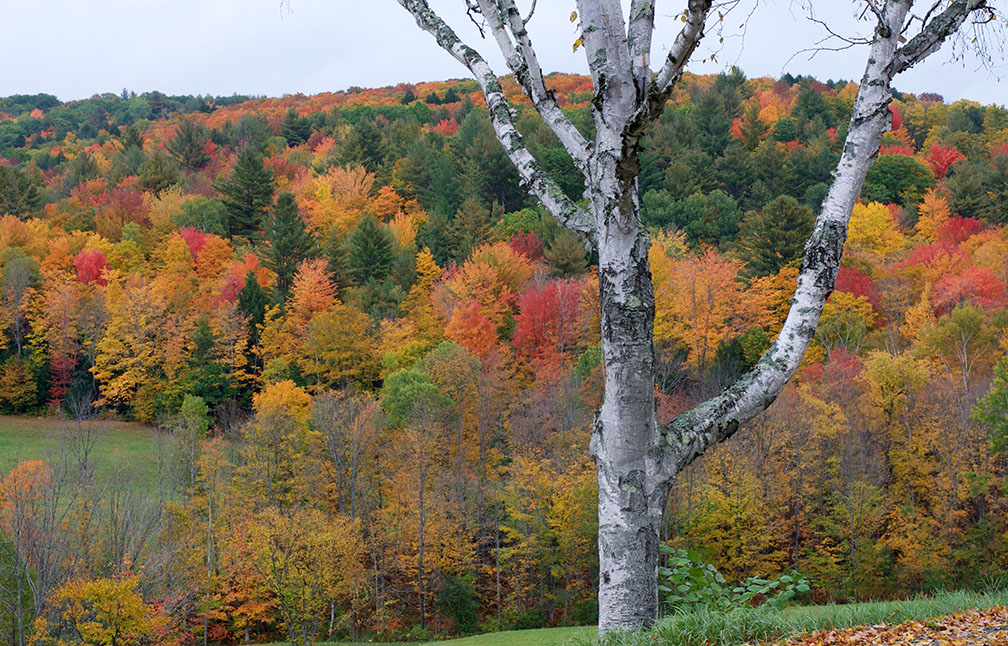
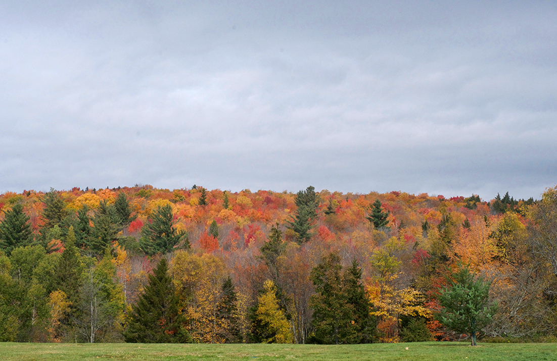
Hiking in Vermont town forests is an ideal way to enjoy the outdoors during fall foliage season. After all, fall hiking in Vermont goes behind climbing 4,000-foot peaks.
Vermont towns have a long and proud tradition of owning and managing forests for public benefit. The tradition of towns holding land for public good is as strong as ever as town forests can be found in communities across the state. Today, there are more than 67,000 acres of forestland owned by 168 municipalities that are open to the public to enjoy, according to Vermont Urban and Community Forestry.
While you’re out and about this fall, here are six beautiful Vermont town forests to explore.
Vermont Town Forests to Visit this Fall
Middlesex
The Middlesex Town Forest covers 403 acres and its elevation ranges from 1,050 to 2,220 feet. Owned by the Town of Middlesex since 2009, the forest features a newly completed hiking trail to the summit of Chase Mountain, a 2,257-foot peak along the Worcester Range. There are two lookouts near the summit and there is even a jar to make notes about your hike. (Please be aware that someone, without permission, cut a trail down the Waterbury side. Make sure to follow the blue blazes back down as the illegal trail is not blazed.)
Getting there: From Interstate 89, take Exit 9 and follow Center Road for about two miles, and turn left on Notch Road. About a quarter-mile past the hair-pin turn, there is a wildlife management parking area on the left, where visitors can park. Hike to the end of Notch Road and continue straight onto the old road toward the Middlesex/Waterbury notch. About a half-mile from the parking area, there is a sign for Middlesex Town Forest with an arrow to the right. Follow the arrow across the brook and the trail begins almost immediately on the left and is marked with blue blazes.
Dover Town Forest
The Dover Town Forest sits on 1,392 acres and borders Wardsboro and the Green Mountain National Forest. Established in 1989, the forest includes a few main trails that are perfect for hiking. Andy McLean, town clerk and chairman of the Dover Area Recreation Trails, recommends a trail known unofficially as “The Hiking Loop,” where visitors will find a peaceful walk in the woods and can hike to an elevation of about 2,600 feet. While there are no scenic outlooks, the trails are ideal if you want to get out into the woods. McLean cautions that visitors should stay on the main trails as the land area is large and cell service is limited in the woods.
Getting there: From Wilmington, follow Route 100 north for about 4 miles and go east on East Dover Road. Then take a left on Holland Road, and another left onto Cooper Hill Road. After 1.2 miles, take a right onto Rice Hill Road and follow it to the end for parking.
Hinesburg Town Forest
The 864-acre Hinesburg Town Forest includes a robust multi-use trail system, including extensive mountain bike trails. Established in the 1920s, this is one of Vermont’s earliest town forests and is listed on the National Register of Historic Places. There is a nice network of trails in the Hinesburg Town Forest, mostly created by Fellowship of the Wheel, a local organization that promotes mountain biking. Because the forest is wooded, there aren’t many expansive views. Still, hikers can catch views here and there of Lake Champlain, the Adirondacks, and some of the Green Mountains from open ledges on a trail called The Dragon’s Tail.
Getting there: From Burlington, take Interstate 89 south to Exit 12 onto Route 2A toward Route 116. In the center of town, turn left onto the CVU Road, and continue onto Texas hill Road. Turn right onto Hayden Hill Road East, where you can park and access the town forest.
Chester Town Forest
The 550-acre Chester Town Forest features a few nice trails for hiking, including The Lost Mine Trail and The Butternut Hill Trail. Hikers on the 2.2-mile Lost Mine Trail will encounter a mossy stream that runs through a steep-sided ravine, pine and hemlock groves, a high ridge line, and a historic mine. The abandoned talc production site along this trail is the Gould Mine of the old Carlton Quarry that operated between 1894 and the 1930s. The mine was the source of Chesterite, a silicate mineral with a unique crystal structure. Meanwhile, the 1.9-mile Butternut Hill Trail offers views of Vermont’s Stratton Mountain and Sunapee Mountain in New Hampshire.
Getting there: The parking area and trail-heads are easy to find by following Route 11 west of Chester. Take a right at the Stone Hearth Inn at 698 Route 11 west onto Reservoir Road to access the traill-heads. For Butternut Trail, follow Reservoir Road 1.8 miles to take a right onto Lovers Lane. The trail-head can be found on the right. For the Lost Mine Trial, follow Reservoir Road 0.9 miles to take a right onto Water Farm Road. The trail-head can be found 0.3 miles up on the right.
Sterling Forest in Stowe
Sterling Forest is made up of 1,530 acres in an area known as Sterling Valley in Stowe. The original 1,500-acre forest parcel, formerly owned by IBM Chairman Thomas Watson, was part of a larger parcel known locally as “Watson Forest,” and acquired by the Town of Stowe in 1995. The Edson Hill trails, the Catamount Trail, the Long Trail, the VAST Trail, and trails in the Beaver Meadows tract are all accessible from Sterling Forest. Sterling Forest offers hikers and mountain bikers a remote, backcountry vibe.
Getting there: Take Route 108 in Stowe north and turn right on Weeks Hill Road. Take a slight right turn onto Percy Hill Road and then turn right on Moren Loop to Sterling Valley Road. The Sterling Forest parking lot is located at the end of Sterling Valley Road. The Sterling Gorge parking lot, located at the end of the public section of Sterling Gorge Road. is a much smaller and well-used parking area that provides closer access to Sterling Falls Gorge, Maple Run, the Marston Trail, and Catamount Trail.
Fairlee Town Forest
The 1,567-acre Fairlee Town Forest includes 35 miles of hiking trails in the upper Connecticut River Valley. Catch views of the White Mountains, Lake Morey, and the Connecticut River from the summit of Bald Top Mountain. According to the town’s website, more than 90 percent of the continent’s songbird species migrate thousands of miles each year to nest in this area—more than any other part of North America. Traces of 19th-century logging and sheep-ranching enterprises can still be discovered in the Fairlee Town Forest. Visitors can find remains of old pasture trees, a short line of stones under the ferns, a depression where a shepherd’s hut may once have stood, or a fragment of a brick chimney.
Getting there: Bald Top Mountain can be accessed from the east from the top of Bald Top Road. It can also be accessed from the Cross Rivendell Trailhead in the gravel pit across the road from the public boat landing on West Lake Morey Road.
What are your favorite Vermont forests to explore?
Pingback:Mike Snyder Gets Primed for Vermont’s Most Colorful Season
Posted at 18:03h, 25 September[…] it comes to Vermont forests, some of Snyder’s favorites are Mount Mansfield State Forest, Sterling Town Forest, and Putnam […]
Pingback:7 Things to Do in October in Vermont | Happy Vermont
Posted at 19:48h, 02 October[…] or Killington, or something easier like Owl’s Head in Peacham or Sunset Ledge in Lincoln. Also, Vermont town forests are another way to get out into the woods on foot or by […]
Pingback:Where are the Most Maple Trees in Vermont? | Happy Vermont
Posted at 22:20h, 20 September[…] South of Newbury Village, head west on Snake Road to access Tucker Mountain Town Forest, one of Vermont’s newer town forests. The town forest offers public access for hiking, horseback riding, mountain biking, and […]