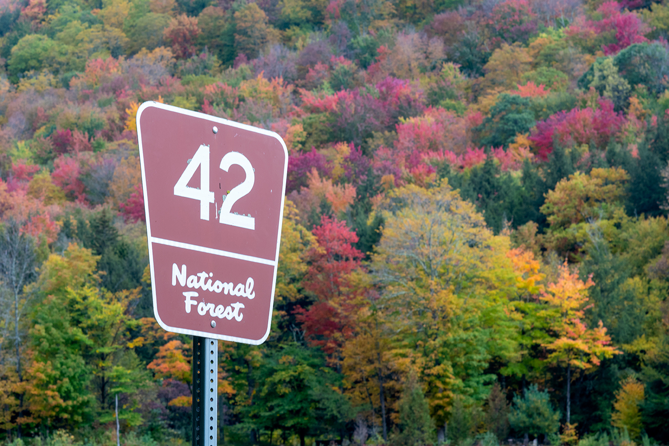
Forest Service Roads in Vermont to Seek Out in Fall
October 07, 2022
Leaf-peeping on U.S. Forest Service roads in Vermont is a good option for out-of-the-way scenic drives and outdoor exploration.
Forest Service roads in Vermont can be found across the Green Mountain National Forest, from Searsburg and Sunderland to Goshen and Granville. The national forest encompasses more than 400,000 acres in southwestern and central Vermont, forming the largest contiguous public land area in Vermont.
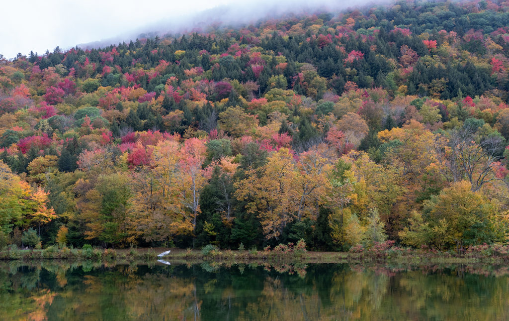
-Kings Pond along Forest Service Road 42 in Rochester.
Most U.S. Forest Service roads were built pre-1986, according to Brian Austin, a technical services staff member at the Green Mountain & Finger Lakes National Forests office in Rutland. Many roads existed even before the Forest Service purchased land in Vermont nearly a century ago.
Forest Service roads serve two purposes: public access to the forest and management of the land.
Forest Service Roads to Explore this Fall
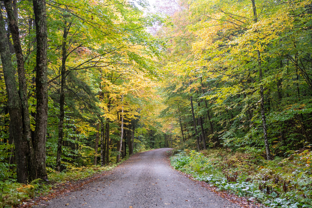
-Fall foliage in the Green Mountain National Forest in Rochester.
Forest Service Road 42 in Rochester
Also known as Bingo Road, Forest Service Road 42 off Route 73 in Rochester starts at Kings Pond and works its way past a few houses and into the forest. This dirt road runs along a mountain stream, is suitable for cars, and is ideal for a bike ride or walk. It also includes designated campsites.
-Getting there: Forest Service Road 42 can be accessed off Route 73 in Rochester.
Forest Service Road 10 between Landgrove and Mount Tabor
Forest Service Road 10 extends through the Green Mountain National Forest for about 15 miles. The route offers hiking access to The Long Trail and White Rocks National Recreational Area and Little Rock Pond, a four-mile round-trip hike. Forest Service Road 10 is also an ideal spot for a scenic drive and wildlife viewing (my last moose sighting was there!).
-Getting there: Forest Service Road 10 can be accessed from Little Michigan Road in Landgrove or Route 7 and Brooklyn Road in Danby.
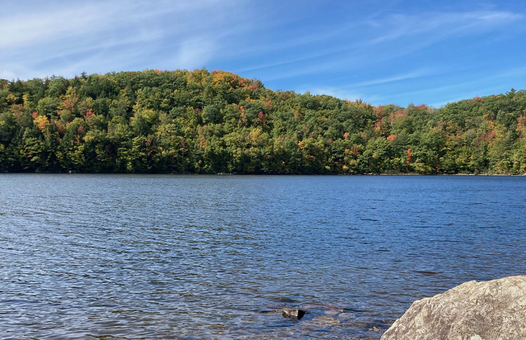
-A fall day at Silver Lake in Vermont’s Moosalamoo National Recreation Area.
Road 27 to Silver Lake
Also known as Silver Lake Road, Forest Service Road 27 is south of Blueberry Hill Outdoor Center in Goshen. Quiet and relatively flat, the car-friendly road winds through the Moosalamoo National Recreation Area within the Green Mountain National Forest. Silver Lake offers camping and various hiking trails are nearby, including a trail to Lenny’s Lookout overlooking Lake Dunmore.
-Getting there: From Goshen-Ripton Road, travel west on Silver Lake Road to the trailhead parking lot to scenic Silver Lake.
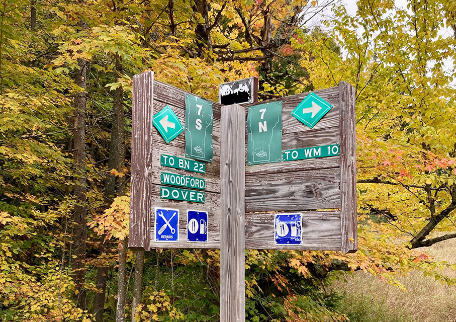
-The intersection of Forest Service Road 71 and Kelley Stand Road.
Forest Service Road 71 near Somerset Reservoir
Somerset Reservoir is a 1,623-acre lake with an entirely undeveloped shoreline. An ideal spot for kayaking, canoeing, and fishing, the reservoir is in the unincorporated town of Somerset in southern Vermont. Scenic and remote with hiking trails and campsites nearby, Forest Service Road 71 can be accessed by car from the north or south, and runs to the west of the reservoir.
-Getting there: From the south, take Somerset Road north from Route 9 in Searburg to Forest Service Road 71. From the north, head south from Kelley Stand Road in Stratton. The reservoir can be accessed from Somerset Road.
Forest Service Roads 50 and 101 in Granville
Turn off Route 100 and head west into the Green Mountain National Forest in Granville. Forest Service Roads 101 and 50 include scenic vistas perfect for fall foliage season exploration by either car, bike, or on foot. The area is home to the headwaters of the White River, offers secluded camping, and serves up beauty at every turn.
-Getting there: From Route 100, travel west on West Hill to access Forest Service Roads 50 and 101.
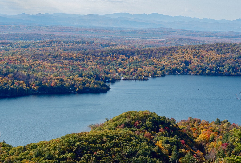
-Near Silver Lake, this view from Lenny’s Lookout overlooks Lake Dunmore.



David Emery
Posted at 12:54h, 07 OctoberI’m wondering if there’s a Service Road map you can by or have sent to you ?
Erica
Posted at 19:34h, 07 OctoberHi David — Here is a link to one, although you probably need to print it out. https://usfs-public.app.box.com/s/brg2ut8qkl9c56mlc2z9334bpvrmqua0
You can also see the Forest Roads (labeled FR) on the Delforme Atlas & Gazetteer for New Hampshire and Vermont, which are available at many Vermont bookstores.
Mary Reed
Posted at 14:31h, 20 OctoberHi, can these roads be accessed using a regular vehicle, like a sedan, or do you need a vehicle with higher ground clearance?
Erica
Posted at 20:29h, 23 OctoberHi Mary, Most can be accessed with a regular vehicle until they close for winter. Enjoy! -Erica