
Podcast: Turnpikes, Toll Roads and Historic Routes
February 16, 2023
Listen to the Podcast
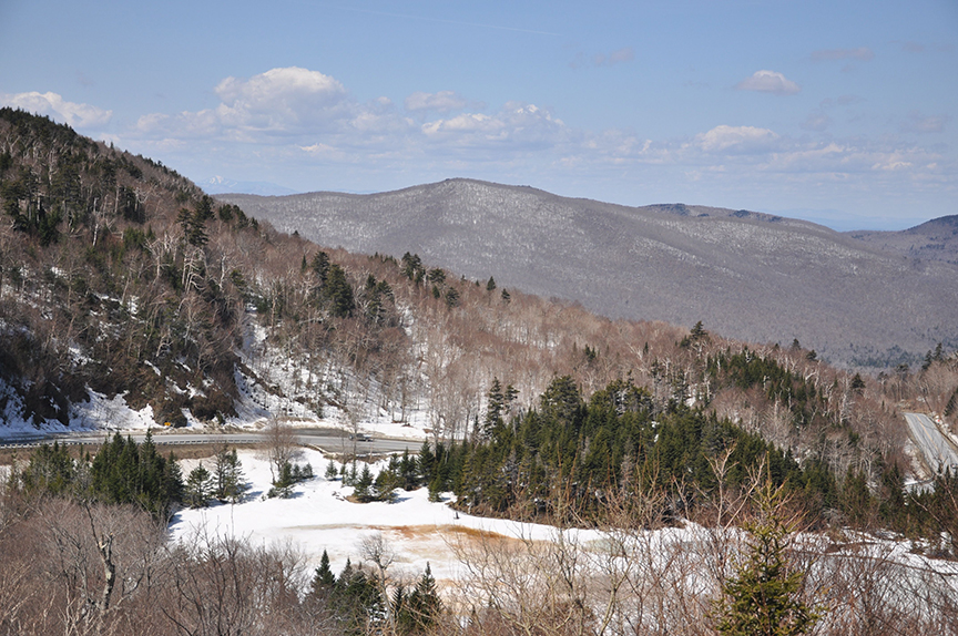
Driving west on Route 17, the road’s pitch starts to noticeably change as it rounds past Mad River Glen and climbs to an elevation of 2,375 feet in Buel’s Gore. The area, known as the “App Gap,” is also referred to as the McCullough Turnpike—a route initially created by three men as a private toll road between Starksboro and Fayston in the 1930s.
“They had a toll gate on either side and charged a dollar to pass. It was a fairly primitive road,” says Johnathan Croft, who heads the mapping section at the Vermont Agency of Transportation in Barre.
-The App Gap road as it descends from Buel’s Gore to Starksboro.
The state of Vermont later purchased the road’s right-of-way for $7,500 and developed the McCullough Turnpike into a state highway with the help of the Civilian Conservation Corps. Croft says the road was completed on both sides of the gap in the mid-1950s and became fully paved in the 1970s.
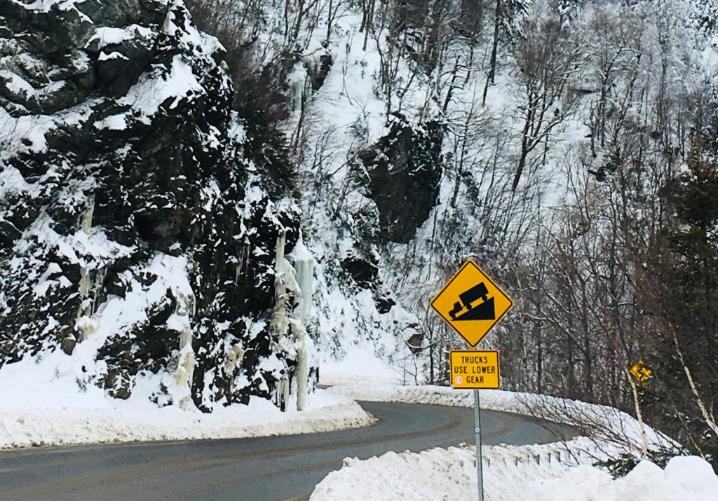
With its tight curves, switchbacks, and steep grade, the App Gap remains open year-round as a primary east-west corridor over Vermont’s Green Mountains.
Happy Vermont Podcast: McCullough Turnpike, Historic Routes, Scenic Drives
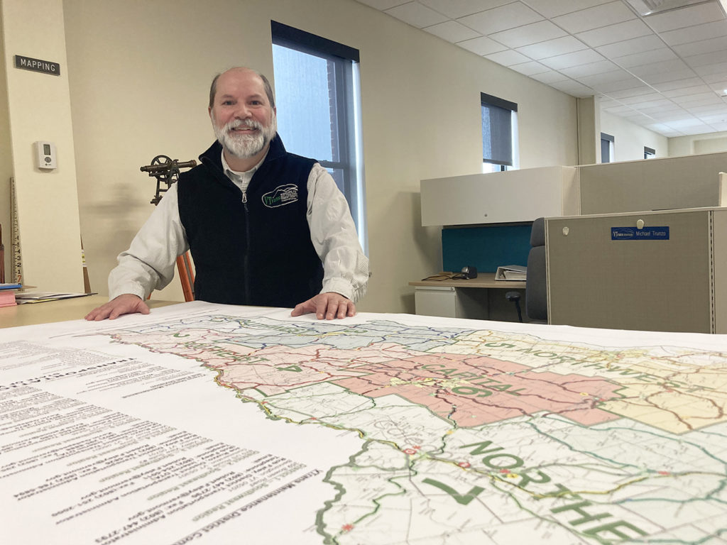
-Johnathan Croft at the Vermont Agency of Transportation office in Barre.
Croft, who grew up in Vermont and attended the University of Vermont, loves local history and geography, especially when it comes to Vermont’s roads.
In this podcast episode of Happy Vermont, he talks about the history of the McCullough Turnpike and the App Gap, Vermont’s toll roads, turnpikes, shunpikes, and the dirt roads of East Barnard.
Support Happy Vermont on Patreon
No Comments