
Vermont Mud Season Hikes to Explore in April and May
April 09, 2021
Mud season is a tricky time in Vermont. Ski season is over, hiking trails are closed, and we’re pretty much just waiting around for Memorial Day Weekend to arrive. The good news is that there are a variety of lower-elevation trails and paths to explore this time of year. Here are 11 Vermont mud season hikes and nature walks to get you outside.
Retreat Farm in Brattleboro
-Courtesy Photo/Retreat Farm
Retreat Farm’s trails were created by the Brattleboro Retreat in the 1800s and have been used by the Brattleboro community for decades (the trails were updated about 15 years ago). Retreat Farm offers several ways to access the nine-mile Retreat Trail recreation network—with trailheads at Harris Hill Ski Jump on Cedar Street, Solar Hill on Western Avenue, Upper Dummerston Road near the I-91 underpass, as well as Retreat Farm and the farm’s meadow trail. Trails are free and open to the public year-round. (45 Farmhouse Square, Brattleboro; retreatfarm.org)
Marsh-Billings-Rockefeller National Historical Park in Woodstock
Vermont’s only national park features over 20 miles of trails around Mount Tom in Woodstock. The park includes easy trails, including the Stewardship Trail and Maple Groove Loop, as well as advanced hikes such as the West Ridge Trail and Prosper Trail, plus plenty of moderate terrain in between. Access the trails from the park entrance (park across the street at the Billings Farm & Museum—now open for the season). (54 Elm Street, Woodstock; nps.gov/mabi)
Shelburne Farms
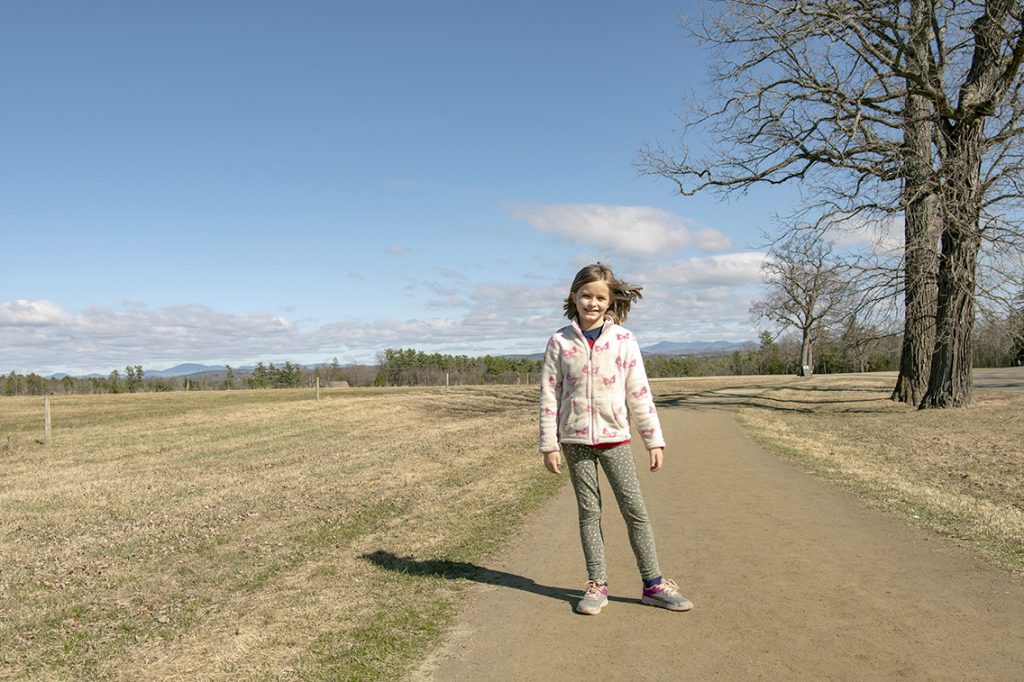
Shelburne Farms is a 1,400-acre working farm, forest, and National Historic Landmark that’s ideal to put on your list of Vermont mud season hikes. Owned as a private estate by William Seward and Lila Vanderbilt Webb in the late 1800s and 1900s, Shelburne Farms later became a non-profit education center open to the public. The farm’s 10 miles of walking trails offer views of Lake Champlain, the Adirondacks, and the Green Mountains. After your walk, stop by the Farm Store to purchase tasty prepared foods—such as chili, cheese, and ice cream—available for curbside pick-up. (1161 Harbor Road, Shelburne; shelburnefarms.org).
Equinox Pond in Manchester
Equinox Pond is one of the prettiest places in Vermont. The land around the pond is part of the Equinox Preservation Trust, which consists of more than 900 acres of protected land around Mount Equinox. The preserve offers a variety of outdoor recreation opportunities, including mud season hikes, year round. The area includes the easy Pond Loop trail, the rolling Red Gate Trail, and many more. (Parking and trailhead located on West Union Street, Manchester Village; equinoxpreservationtrust.org)
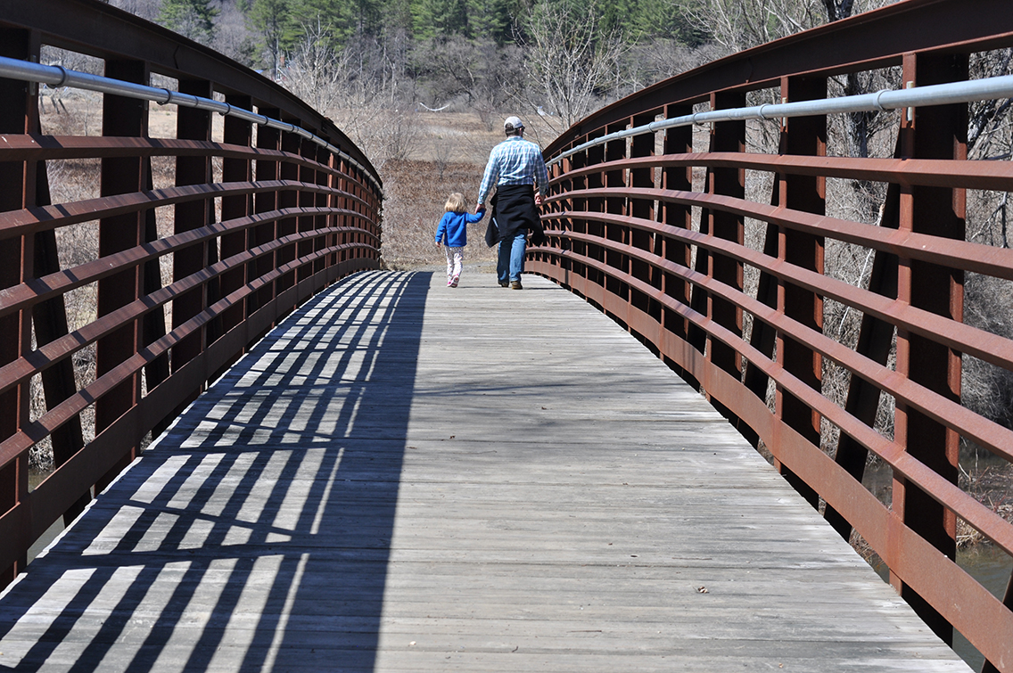
Kingsbury Greenway and Farm Path in Warren
The Kingsbury Greenway is a 2.5-mile, round-trip path along the scenic Mad River that’s ideal for a mud season hike. The trail crosses the Clay Brook Bridge, travels under Route 100, through the Wabanaki Conservation Area, and loops around the Sugarbush Snowmaking Pond. The Kingsbury Farm Path is an easy one-mile round-trip trail accesible from the greenway by walking north over the Kingsbury Bridge. (Riverside Park, 829 Route 100, Warren; madriverpath.org)
Rock Point in Burlington
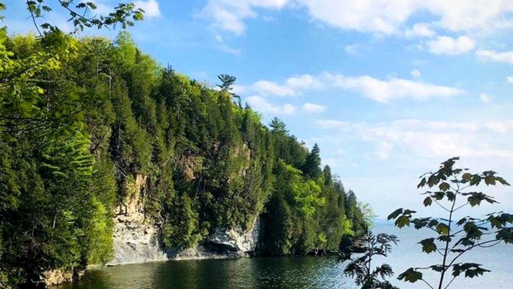
-Courtesy photo/Rock Point
Rock Point offers over two miles of accessible walking and hiking trails on 130 acres of privately owned and conserved land along Lake Champlain. Located in Burlington, Rock Point includes rare and endangered plant species and wildlife—including moose sightings—found nowhere else in the city. (Rock Point Road, Burlington; rockpointvt.org/trails) Note: Effective March 2020, parking is currently not permitted on Rock Point Road. Learn more about parking availability.
Mount Ascutney Parkway in Windsor
If you’re looking to gain some elevation during mud season, try the Mount Ascutney Parkway. The parkway, located at Ascutney State Park, was built by hand and machine by the Civilian Conservation Corps between 1933 and 1937. The auto road provides a paved surface that winds up the mountain for 3.7 miles to an elevation of 2,800 feet. Mount Ascutney is named from the derivative of several Abenaki words meaning “mountain of the rocky summit.” Vermont’s—and possibly America’s—first organized mountain-hiking trail was cut through these forests in 1825. (1826 Back Mountain Road, Windsor; vtstateparks.com/ascutney)
South Shore Trail in Westmore
Along Lake Willoughby is a two-mile loop that’s perfect for novice hikers. With an elevation of only about 200-feet, this Willoughby State Forest trail offers gorgeous views of Mount Pisgah on the opposite shore. Located in one of Vermont’s most scenic areas, Lake Willoughby is about 300 feet deep, making it one of the deepest lakes in the northeastern United States. (Route 5A, Westmore; fpr.vermont.gov)
The Mill Trail in Stowe
-Courtesy Photo/The Stowe Land Trust
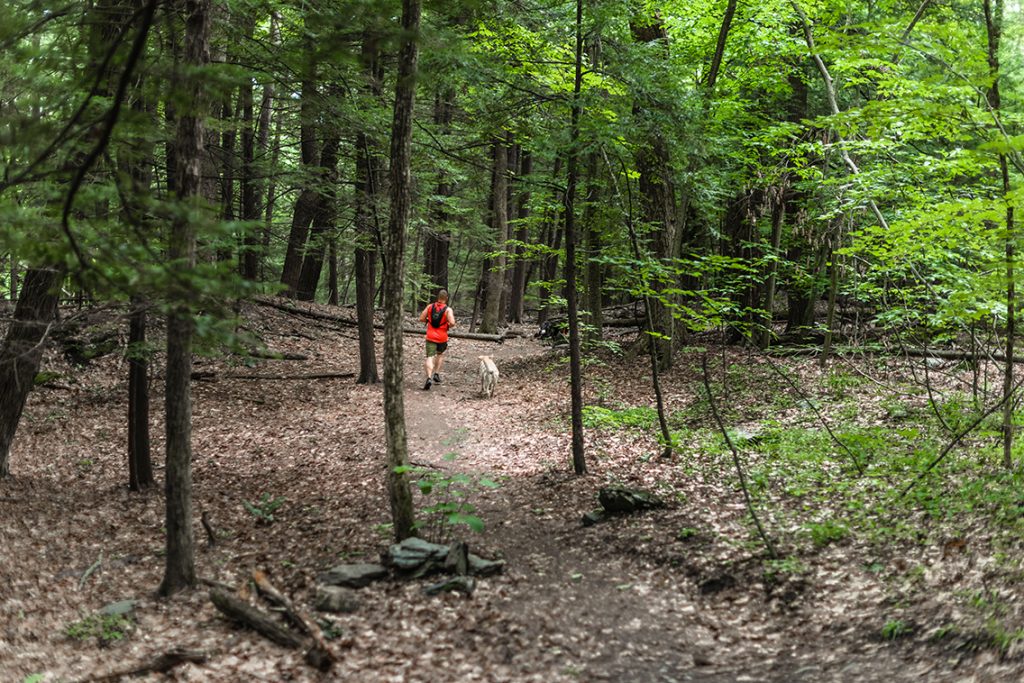
The Mill Trail, owned by the Stowe Land Trust, encompasses 31 acres and highlights the resort town’s history. The property includes the former Orlando Turner Saw Mill and Tub Factory. Visitors will also come across a Moravian-style cabin, constructed in 1935, as one of the first ski-in roadside inns to provide Stowe’s early skiers’ lodging accommodations. Mill Trail winds along the West Branch of the Waterbury River and includes northern hardwood forest mixed with softwood stands, including hemlock. (Notchbrook Road, Stowe; www.stowelandtrust.org)
Mount Philo Access Road in Charlotte
Mount Philo is the oldest state park in the state, which opened in 1924. This time of year, you can walk up the paved access road, which winds along the side of the mountain to its 988-foot peak. The short walk to the summit rewards you with gorgeous views of Lake Champlain and the Adirondacks. Traces of an old carriage road, built by the former owners of the Mount Philo Inn in 1903, are still visible in sections along the current park road. (5425 Humphrey’s Road, Charlotte; vtstateparks.com/philo)
North Branch Nature Center in Montpelier
North Branch Nature Center is a 28-acre reserve along the North Branch of the Winooski River. Located off Route 12 just north of downtown Montpelier, the center offers nature programs and trails open to the public year-round. Head across the bridge over the river for a peaceful walk in the woods. Good news: the center’s Friday morning bird walks start on April 30. (713 Elm Street, Montpelier; northbranchnaturecenter.org)
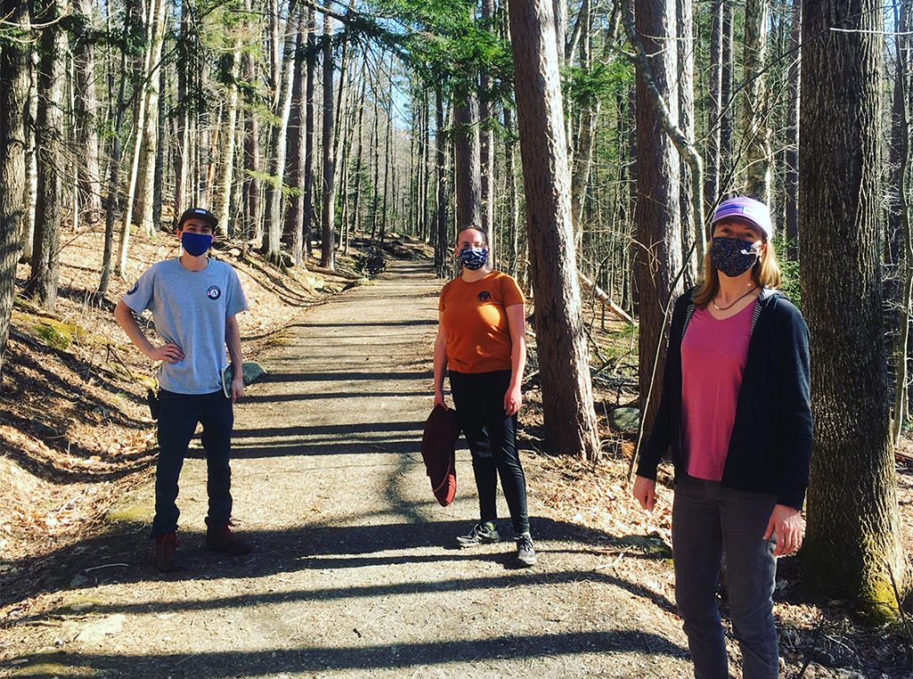
Tip: When You’re on a Vermont Mud Season Hike, Be Mindful
While these trails and paths are currently open, be mindful of mud. Hiking on muddy terrain can damage vegetation and degrade the quality of the trail. High elevation peaks like Mount Mansfield (4,395′) and Camel’s Hump (4,081′) will still have ice and snow into early June. If a lower-elevation trail is open and you come across mud, turn around and find an alternative place to hike. Visit the Green Mountain Club’s website for an overview of mud season to learn more.
Partnership with The Green Mountain Club
![]()
Happy Vermont is partnering with the Green Mountain Club for #GMCMudMadness, an Instagram challenge and giveaway to keep outdoor enthusiasts active while giving many of Vermont’s hiking trails a break during mud season.
Each week from April 12-May 23, 2021, the Green Mountain Club will be offering three different challenges on Instagram, such as road walks, scavenger hunts, and more. Giveaways include Happy Vermont t-shirts as well as prizes from local businesses including the Mountain Goat in Manchester, Lenny’s Shoe & Apparel, Outdoor Gear Exchange, REI, Skida, and many others.
Learn more about the Green Mountain Club challenge.
Gail Hayden
Posted at 21:02h, 09 AprilLake Willoughby is contained in the town of Westmore Vermont. Westmore is serviced by two zip codes 05822 (Barton) the west side of the lake and 05860 (Orleans) the east side of the lake.
Erica
Posted at 21:12h, 09 AprilHi Gail — I’m so glad you said something! I have thought Willougby was in Westmore for years, and today when I mapped the location on Google Maps and AllTrails, to my surprise, it came up as Orleans. I thought I had been wrong all these years. Anyway, I’ve made the change. Thank you! -Erica