

Explore the Outdoors This Fall on These 6 Vermont Scenic Dirt Roads
September 11, 2020
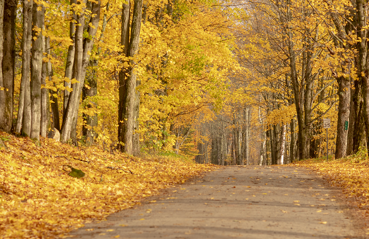
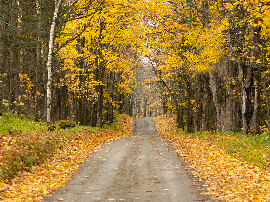
An interesting but not surprising fact: Vermont has more dirt roads than paved ones. With nearly 8,600 miles of unpaved roads across the state (compared to 7,151 miles of paved roads), Vermont has no shortage of scenic dirt roads to explore by car, bike, or on foot.
Some Vermont towns, such as Landgrove, Kirby, Calais, Granby, and Stannard have mostly dirt roads. In a 1996 New York Times article, In Slow-Paced Vermont, the Dirt Road Reigns, the reporter wrote: “To a lot of Vermonters, an unpaved road is a better road. People go more slowly on a dirt road. In rural Vermont, slower is better.”
To help you slow down this fall—or at least help you find places to get outside to hike and explore—here are six Vermont scenic dirt roads worth visiting.
Mack Mountain Road between West Danville and Peacham
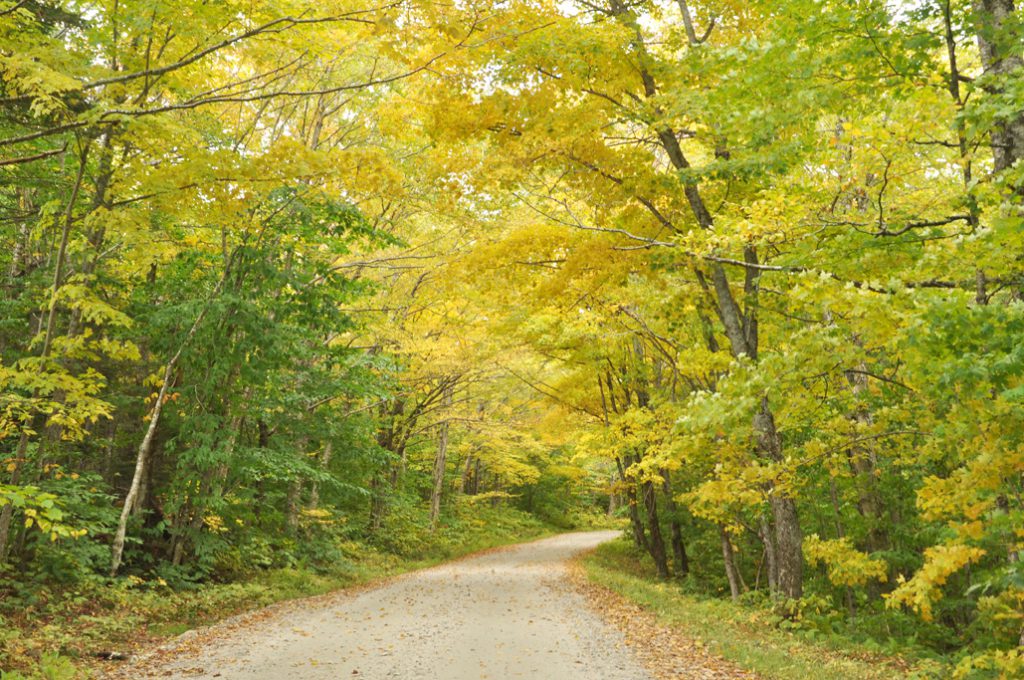
Google Maps helped me navigate my way to a photo assignment in Peacham last fall by way of Mack Mountain Road. It didn’t take long to figure out that Mack Mountain Road is a perfect foliage backroad drive with old maples, deep woods, rambling farmhouses, and distant mountain views. The road leads to Peacham, where you can stop by the Peacham Café for a bite to eat or take photos of the town’s steepled church. You can also find hiking at Osmore Pond or Owl’s Head in nearby Groton State Forest.
Vermont historian and author Howard Coffin describes Mack Mountain Road as one of his favorite annual fall drives because of its beauty and as a way to honor the memory of a fallen Civil War soldier from Peacham. In a 2015 commentary piece on Vermont Public Radio, Coffin told the story of Edward Palmer, a young man mortally wounded at the Wilderness. Edward ended up in Montpelier’s Sloan Military Hospital, where he died in late September 1864. His father went for the body, and his route was along what is now Route 2 and Mack Mountain Road. Coffin wrote, “He had come home in what I believe to be the best time of all seasons to be alive in Vermont.”
Getting there: From Montpelier, travel east on Route 2 for about 23 miles. Turn right on to Mack Hill Road and travel 7 miles to the center of Peacham.
Goat Farm Road in Pittsford
Goat Farm Road is only three miles long, but it’s a memorable, scenic route that keeps me coming back every fall. Tucked between the Green Mountain National Forest and Route 7, Goat Farm Road has it all: quiet woods, horse pastures, red barns, and mountain views.
Located off the road is the Pittsfield Trail Network’s Goat Farm Trail, which was added to the local trail network in 2019. The trail originally led to the Pittsford Ice Caves, a network of tectonic caves formed by rock slides thousands of years ago. The current version of Goat Farm Trail bypasses the caves’ rocky area and heads to scenic lookout areas instead.
Getting there: From Route 7 in Pittsford, take Furnace Road east to the intersection of Goat Farm Road. If you’re up for more outdoor exploring, continue east on Goat Farm Road toward Chittenden, where you’ll find the Chittenden Reservoir and Lefferts Pond off Dam Road and Wildcat Road, respectively.
Hazen’s Notch between Montgomery and Lowell
Not far from Main Street in Montgomery is the turn to Hazen’s Notch, a scenic mountain pass in the northern Green Mountains. Hazen’s Notch was named after Moses Hazen, who in 1779 led the construction of the Bayley Hazen Military Road. The military road was abandoned in April 1779 when news broke that the British patrols might use it as an invasion route. Hazen’s Notch, which upper section is closed in winter, curves through thick forest land, allowing for a quiet, beautiful ride.
If you’re looking to get out of your car, about 10 miles of the Hazen’s Notch trail network is open for walking and hiking in the summer and fall. These trails are at High Ponds Farm, a privately owned nature preserve in the Hazen’s Notch Area of Montgomery. You can learn more at HazensNotch.org.
Getting there: From Route 118 in Montgomery, head east on Hazen’s Notch Road/Route 58 toward Lowell. The upper portion of this road is closed in winter.
Kelley Stand Road between Stratton and Arlington
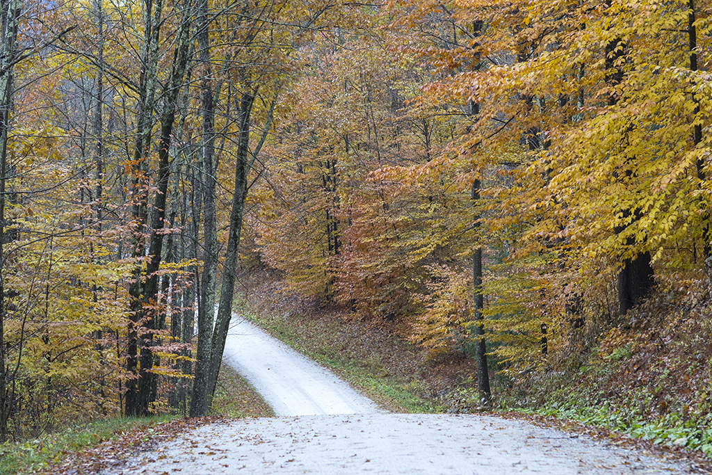
Kelley Stand Road stretches across the Green Mountain National Forest through the most remote region of southern Vermont. The road originally served numerous logging camps and early settlements during the 19th century. Now it’s a place to take scenic drives and access hiking trails, rivers, and ponds.
Be sure to visit Grout Pond, a 1,600-acre recreational area managed by the U.S. Forest Service that’s open for camping, fishing, paddling, and hiking. Kelley Stand Road, which is closed in winter, also provides access to the Stratton Pond hiking trail and the Roaring Branch Brook for fly-fishing.
Getting there: From Route 7A, take East Arlington Road to Old Mill Road to Kansas Road. Turn right onto Kelley Stand Road. To access the road from the east, take Route 100 to West Wardsboro and head west on Stratton-Arlington Road, which eventually becomes Kelley Stand Road. The road is closed in winter.
Goshen Road between Ripton and Goshen
Goshen Road extends through the 16,000-acre Moosalamoo National Recreation Area in the towns of Ripton and Goshen. The area includes more than 70 miles of trails for hiking, biking, camping, and fishing. Along Goshen Road, you can access the four-mile Widow’s Clearing trail loop for hiking, or you can head over to the Blueberry Hill Outdoor Center (next to the Blueberry Hill Inn) for hiking, mountain biking, and trail running.
Getting there: From Route 7, head east on Route 125, past the Ripton Country Store and town hall, before taking a right onto Goshen Road.
Danby-Mount Tabor Road between Landgrove and Danby
The Danby-Mount Tabor Road, built by the Civilian Conservation Corps in the 1930s, crosses through the Green Mountain National Forest in southern Vermont. You can access The Long Trail to Little Rock Pond and the White Rocks National Recreation Area for hiking. Closed in the winter, Danby-Mount Tabor Road includes views, wildlife (I saw a moose here in 2005), and lots of Vermont beauty.
Getting there: From Landgrove, take Landgrove Road to Little Michigan Road to Danby- Mount Tabor Road. The mountain road eventually takes you to Route 7 in Danby.
What are your favorite Vermont scenic dirt roads?
Keiji Fukuda
Posted at 15:51h, 10 OctoberThese roads look perfect for bicycling especially during the autumn and I hope to do so. Vermont is such a beautiful state.
Erica
Posted at 19:40h, 15 OctoberIt’s perfect for biking right now! Hope you can get out and enjoy the fall colors! -Erica
Pingback:Where are the Most Maple Trees in Vermont? | Happy Vermont
Posted at 21:00h, 20 September[…] beats traveling along a Vermont dirt road in the county with the most maple trees. On Stone Road, you’ll travel past wide-open fields […]