
In Vermont, Why Are Things Where They Are?
January 25, 2024
Listen to the Podcast
Have you ever wondered why Vermont towns or villages have the words center, falls or mills tacked on?
If you’ve spent time in Vermont towns, you’ve come across places like Waterbury Center, Enosburgh Falls, Cookeville, or Post Mills. Or, you’ve been to places with east, west, or north names like East Corinth, North Ferrisburg, or West Newbury.
When looking at a map of the state, have you ever noticed that some Vermont towns are shaped like a square, some are diamond-shaped, while others have town lines that zig-zag left, right, up, or down?
Jane Dorney of Richmond is a geographer who helps people connect to the Vermont landscape and understand how it came to be the incredible place it is today. She approaches the Vermont landscape with the geographer’s question: Why are things where they are?
Dorney researches and analyzes Vermont’s natural and cultural features through project-based consulting work. She looks for patterns and interconnections on the land and tries to understand how it has all evolved.
Vermont Settlement Patterns
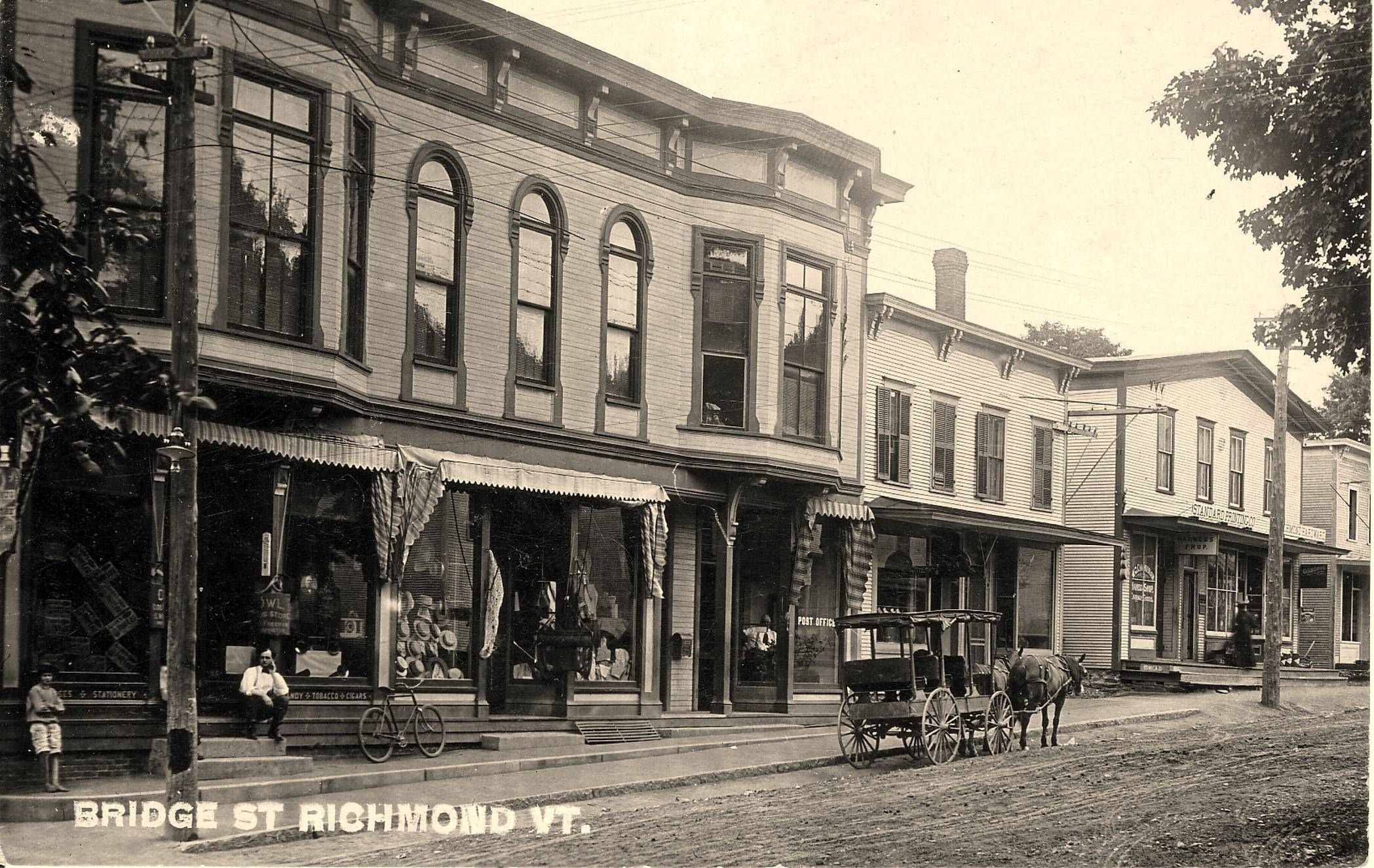
-Bridge Street in the heart of Richmond. Courtesy of the Richmond Historical Society.
As Vermont settled in the 1700s, towns were laid out as six miles by six miles in size, based on previous examples in southern New England. Essentially, Vermont town borders were drawn sight-unseen.
“The colonial governor in New Hampshire had a map on the desk, and they were literally drawing lines with a ruler,” Dorney says. “The six miles by six miles was extremely functional and very practical on the one hand. On the other hand, it was a very abstract idea. You drew these lines in the middle of a forested landscape.”
That made the six-by-six approach more complex.
“The topography made that tricky,” she says.
Town Centers, Former Towns, Vermont Places
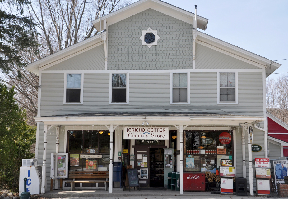
-The Jericho Center Country Store is located across the street from the Jericho Center Green.
The early plan for Vermont towns was to have the precise center of the community be the center village with a town green and church. However, some geographical centers weren’t made for community purposes.
Take the town of Jericho, for example. Dorney says the exact geographical center of Jericho is on a rocky ridge—not ideal for town greens, churches, or meeting houses. That resulted in Jericho Center moving to the west, below the ridge, where it is today.
In other cases, some towns ended up absorbing other towns. Mansfield, a town that no longer exists, was drawn along the rugged high-elevation terrain of Mount Mansfield, the highest peak in Vermont.
“It wasn’t functional, so they divided it,” Dorney says. “Right down the ridge line, they gave a piece to Underhill and a piece to Stowe.”
Happy Vermont Podcast
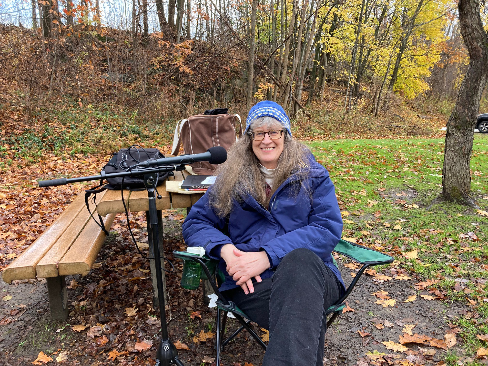
-Geographer Jane Dorney in Richmond.
I met with Dorney outside the Richmond Free Library last fall for a podcast interview to talk about Vermont’s settlement patterns, maps, town centers, covered bridges, villages and mill sites.
She also shares stories behind some Vermont place names, including Checkerberry Village in Milton and Jonesville in Richmond.
You can find this Happy Vermont podcast episode on Apple Podcasts, Spotify, iHeart Radio, or wherever you listen to podcasts.
Learn more by visiting janedorney.com.
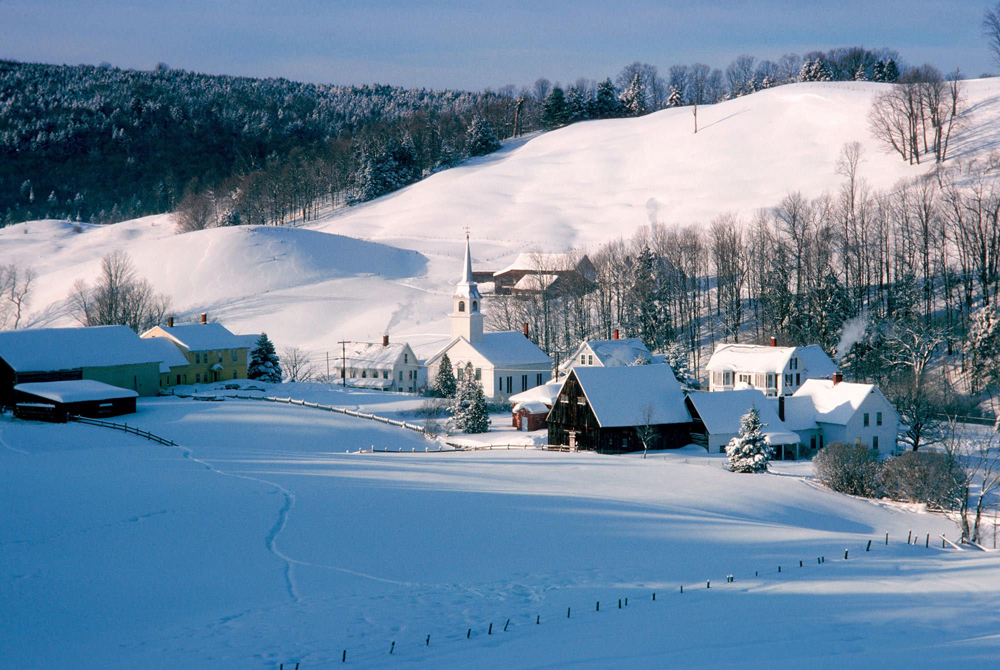
-Main photo of East Corinth by George Robinson/istock.
No Comments